
Pakistan’s crowning glory this year (no, it’s not international cricket coming back to the country after a prolonged hiatus) is a little acknowledged achievement: winning the UNs endorsement for extension of Pakistan’s continental shelf up to 350 miles from the coastline (or baseline, to be more precise). This adds over 50,000 Sq kms of continental shelf to the existing 240,000 Sq kms of Exclusive Economic Zone under Pakistan’s jurisdiction. Pakistan will have exclusive rights over the seabed and subsoil resources of the added area which includes large quantities of polymetallic nodules -small mineral rich rocks – containing nickel, cobalt, iron and manganese, deep seabed resources like iron, manganese nodules and crusts, oil, gas and gas hydrates. The exploration and exploitation of these vast hidden resources would bring vast economic benefits for Pakistan. This achievement is all the more creditable since Pakistan is the first and only nation amongst the Indian Ocean littoral states to have achieved this landmark. This was not accomplished overnight, but through painstaking efforts spread over two decades.
Most of us land-lubbers who frequent beaches get to realise that the land does not abruptly end where the sea begins, but forms a steady gradient underneath. Such a natural extension of the land mass into the sea is known as the continental shelf, which ends only when the gradient takes a steep nosedive.
The term ‘Continental Shelf’, though well known since long in marine and oceanographic circles, as a seabed and subsoil formation, first began figuring in the national discourse in the mid-nineteen nineties in the context of the UN Convention on Law of the Sea, which laid open the possibility of the extension of Continental Shelf beyond the 200 mile limit of the Exclusive Economic Zone, provided definitive proof was furnished about the Continental Shelf’s natural prolongation beyond this established zone.
Pakistan Navy played a vital role in pushing this agenda onto the forefront and agitating for the procurement of an Oceanographic Survey Vessel, which would not only meet the essential need of technical data collection for this current endeavour, but would also prove to be an invaluable training and research tool in the future. Owing to the scientific nature of the enterprise, however, the Ministry of Science & Technology was subsequently assigned the lead role in the undertaking, with the National Institute of Oceanography and PN Hydrographic Dept as its field arms. Full advantage was derived from the Pakistan Navy’s Hydrography Department’s expertise in conducting sea surveys through its own dedicated survey vessel.
Pakistan did not have the luxury of time. Scientists and hydrographers set about the task by upgrading their own knowledge base and assessing the quantum of exploratory work to be undertaken. Detailed marine geo-scientific data, describing the shape of the continental margin, location of the foot of the slope and sediment thicknesses was required to be collected. A consolidated case, consisting of an Executive Summary backed up by all relevant technical data and charts, then had to be prepared for submission to the UN Commission on the Limits of the Continental Shelf prior to the UN imposed deadline of 27 Feb 2007 i.e., a full ten years after the date on which UNCLOS ’82 was ratified by Pakistan. Relief was however round the corner, with the deadline getting further extended till 13 May 2009 (as per SPLOS/72 of 29 May 2001) this date became applicable to all states, like Pakistan, which had ratified the Convention prior to its formal entry into force (13 May ’99).
The initial years were spent in preparatory work for chalking out a definitive course of action, with progress becoming more visible after 2005, when a substantial amount of Rs 500 million was committed by the Government for taking the project forward. A desktop study was thereafter undertaken in consultation with NIOs counterpart in Southampton, UK to take stock of the existing data and work out the future survey requirements. French Marine Research Institute was selected to undertake a detailed multi-beam bathymetric survey, while Canada’s M/S Seaforth, which furnished professional guidance to the Pakistani team at every step of the way, supervised the 2D multi-channel seismic survey. It however goes to the credit of the PN Hydrographic Department that it independently accomplished the geodetic survey of the entire Pakistani coastline.

After making its submission on 30 Apr ’09, barely a fortnight before the cut-off date, Pakistan joined the queue of 28 countries awaiting their turn for presenting their findings before the full 21 member bench of the UN Commission, all of whom are elected by state parties on the basis of equitable geographical representation. A few months after Pakistan submitted its claim, Oman, a neighboring country, voiced its reservations before the UN about the likelihood of its future rights being infringed through a possible area overlap. Realizing that this amounted to throwing a spanner in the works, and in fact it did threaten at one stage to derail our case, Pakistan assiduously worked behind the scenes to convince its neighbour that it’s due rights would be respected, succeeding finally in its endeavor in Nov ’14.
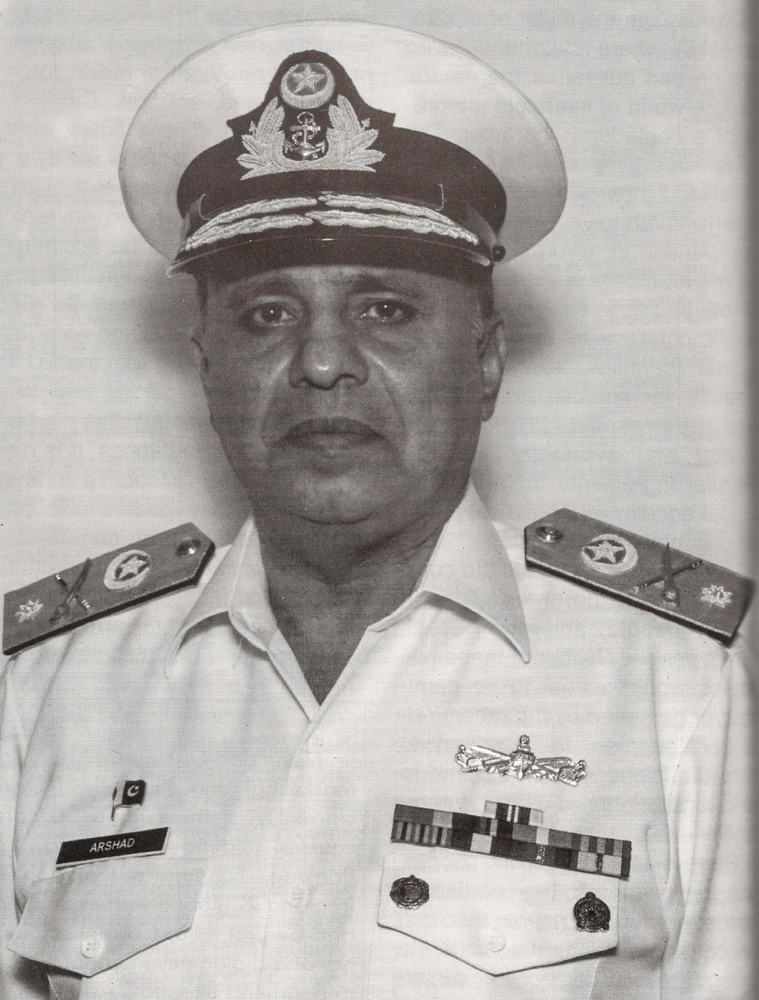
Having resigned itself to the possibility that its case may not come up for hearing before 2017, the nominated team members were pleasantly surprised when they were asked to deliver their presentation on 16 Aug 2013. During the same session Pakistan’s position in queue came on top to establish sub-commission for active consideration. After a detailed deliberation by full 21 member commission it was decided to formulate seven members sub-commission to examine Pakistan’s submission. The Herculean task of completely satisfying the sub-commission was competently undertaken by Pakistan’s technical team, by diligently formulating responses to each of the technical queries raised, reprocessing the data, modifying the results and finalizing comprehensive additional reports. After an elaborate evaluation process spread over a year and a half, which involved a number of subsidiary presentations as well as additional submissions, Pakistan’s efforts bore fruit when the UN Commission finally accepted its claim for an extension of the outer limit of the continental shelf. This is by no means an insignificant achievement, Pakistan becoming the first country amongst the Indian Ocean littoral states to have won this right. Apart from the dedicated team of scientists and hydrographers who patiently collated this data and the technical team which prepared and pursued the case, credit is also due to Commodore M. Arshad SI(M), who has the honour of being elected to the UN Commission in 2012 for a five year term, for rendering invaluable professional advice and Pakistan succeeded in gaining an additional area of about 285 sq km equal to size of country like Maldives and to Ms Maliha Lodhi, Pakistan’s Permanent Representative to the UN, for rendering diplomatic assistance and delivering the final comprehensive presentation before the UN Commission.
Contrary to popular perception, this extended continental shelf does not become a part of Pakistani territory, though the country does gain exclusive rights for exploring and exploiting the natural resources of the seabed and the subsoil strata. The wealth of knowledge and experience gained along the way towards winning the UN’s endorsement for the extension will hopefully help in resource mapping the entire continental shelf, commencing from the coastline southwards, and chalking out practical plans for the phased exploitation of its immense natural resources.
After having conquered, so to speak, the final maritime frontier, what next? The vast oceanographic realm beyond the confines of the continental shelves of the individual states has been dubbed as the common heritage of mankind, with all activities there being organised, carried out and controlled by the International Seabed Authority set up for the express purpose. Individual states can however seek the Authority’s approval by submitting a detailed plan of work and specifying the means with which they intend to carry it out. And herein lies some food for future thought!


